Working together for bushfire management
Wingecarribee Shire Council is urging residents to update their Bush Fire Survival Plan following concerns raised about the threat of bush fire.
The call comes as the Shire continues to experience an unusually hot and dry summer.
“Council is aware of recent discussions centred around Mount Gibraltar in Bowral,” said Council’s Natural Resource Projects Coordinator, Ian Perkins.
“Council takes bushfire hazard reduction and its obligations very seriously,” Mr Perkins said. “However we can’t escape the fact that most of our Shire is bushfire prone land.”
“This means we all have a role to play.
“And while risk cannot be entirely removed, it can be managed with proper processes.”
Mr Perkins explained that Council has bushfire management plans in place for our bushland reserves. These plans outline the hazard reduction actions required to be delivered by Council.
“The first action that people would be most familiar with involves controlled hazard reduction burns,” he said.
Council schedules burns across different parts of Mount Gibraltar each year. These controlled burns are based on a variety of factors including fuel loads, risk, topography and proximity to residents and assets.
“We use very detailed information to plot and organise these burns,” Mr Perkins said. “These are conducted in the cooler months and carried out by our partners at Fire and Rescue NSW.”
“The next management action involves the creation of asset protection zones to safeguard critical assets.”
An Asset Protection Zone (APZ) is established and maintained where a bushland reserve directly borders an ‘asset’ such as a communications or water tower.
“These APZ’s are audited twice yearly and maintained to a standard that ensures the assets are given the best protection possible,” Mr Perkins said.
Mount Gibraltar has a total of 11 APZ’s covering 3.6 hectares of the Reserve.
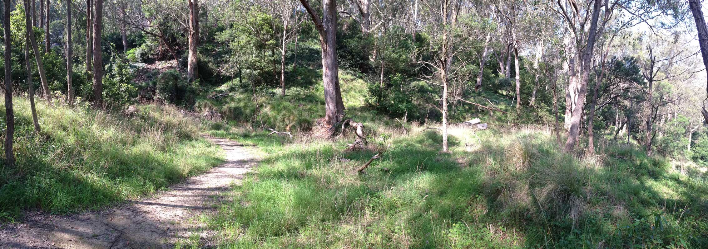
The third management action involves the maintenance of fire trails.
“Fire trails are critical pieces of infrastructure that allow emergency services personnel access in and out of fire zones during times of emergency,” Mr Perkins said.
“They are not intended as escape routes for residents.”
“All of our Shire’s fire trails, including those on Mount Gibraltar, are annually audited and maintained to an operational standard for the use of these emergency services personnel.”
A total of 4.4 kilometres of fire trails are maintained by Council alone on Mount Gibraltar. Over $250,000 in fire trail maintenance is currently being undertaken across Council-managed reserves.
“Ultimately bushfire protection is a shared responsibility,” Mr Perkins said. “Government, land management agencies and private property owners all have a role to play in helping to minimising risk.”
“Residents in particular can help play a huge role in helping to minimise risk of bushfire.
“Rubbish dumping is also a problem,” Mr Perkins said. “If residents find dumped rubbish we encourage them to report it via the EPA’s Report Illegal Dumping (RID) hotline.
“Rubbish can then be removed and dumping “hot spots” identified for future monitoring,” he said.
“A bushfire survival plan is another essential tool that all residents should be familiar with.
“If they haven’t already, Council strongly encourages all residents to prepare a bush fire survival plan which can help ready their families and homes in case of emergency.”
To report any incidents of illegal dumping phone the NSW Environment Protection Authority’s RID hotline on 131 555 or online at ridonline.epa.nsw.gov.au.
To view how to prepare a Bush Fire Survival Plan visit www.myfireplan.com.au.
To report a bush fire hazard or learn about bush fire survival tips visit the NSW Rural Fire Service (RFS) at www.rfs.nsw.gov.au.
To learn more about Council’s role in managing bushfire visit www.wsc.nsw.gov.au/services/environment/bushfire-management.