Council launches new citizen science program
Wingecarribee Shire Council is encouraging residents to get involved in a new citizen science biodiversity monitoring program.
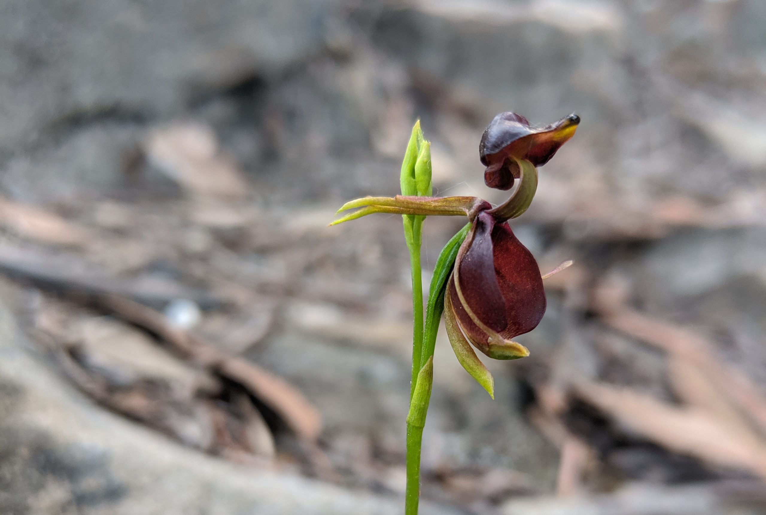
The Southern Highlands Nature Map allows users to upload biodiversity sightings to a mobile app or website.
Council’s Environment Officer Karen Guymer said that data collected will be used for different purposes.
“As well as assisting in everyday decision making, the data will be used to improve conservation efforts and develop new biodiversity projects,” she said.
Data and information collected is available to governments, councils, biodiversity experts, environmental groups and the community.
“Getting involved is easy,” said Karen. “Use your smartphone or camera to capture images and sounds of the plants, animals, insects, fungi and other life forms you’re interested in and upload them to the map.”
“Expert volunteer moderators then help to identify the species so we can better understand our Shire’s biodiversity.”
Other features include field guides for species and places as well as an interactive map to view records submitted for places of interest.
“Anyone can get involved,” added Karen. “You don’t have to be an expert or even be able to identify the species you are submitting.”
The Southern Highlands Nature Map is powered by NatureMapr an innovative cloud-based software platform founded by Aaron Clausen.
For more information visit www.wsc.nsw.gov.au/citizen-science-opportunities or contact Council on phone 4868 0888.